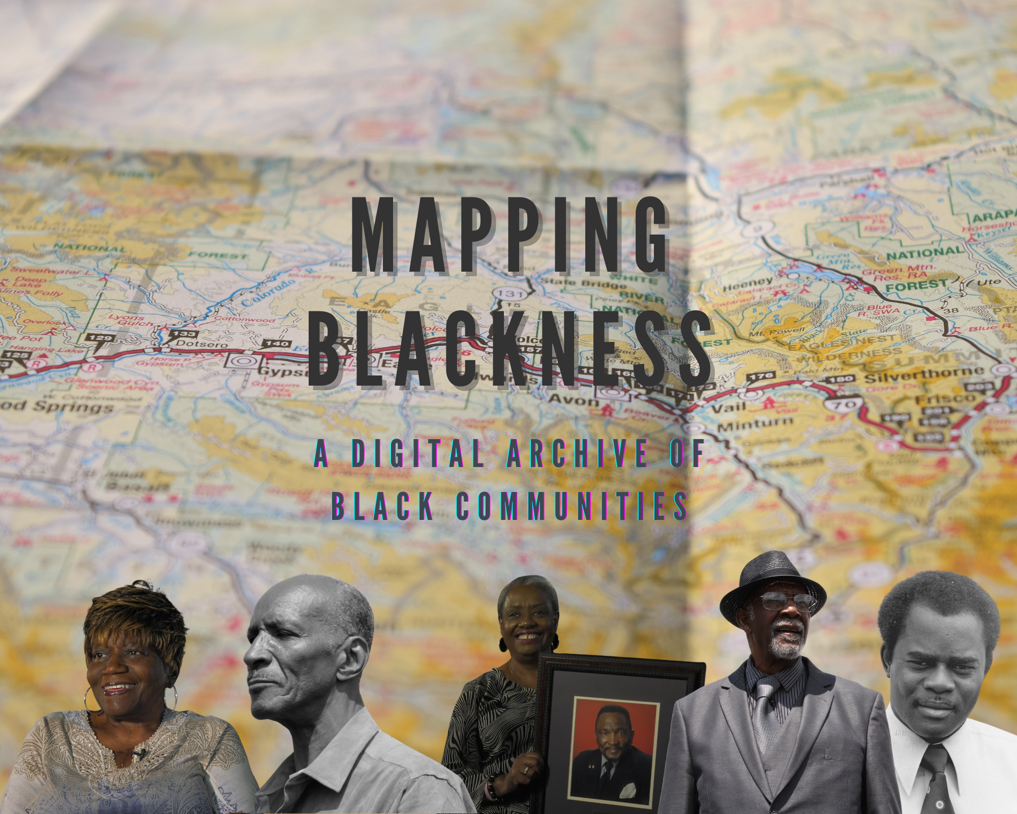
 Mapping Blackness by ODL Fellow Carla Bishop is an immersive geo-locative digital archive. This platform integrates geotagging, AR, 360 video, and traditional documentary storytelling to document and archive the histories, stories, and images of historically black communities that are often left off of maps. It utilizes the geographic information system, ArcGIS and their StoryMaps application.
Mapping Blackness aims to capture, celebrate, preserve and honor the histories and legacies of these communities. Youth will be trained in documentary and interactive media production to capture these stories. This project hopes to inspire a new generation of activists through intergenerational storytelling, mobile integration, community building, and community archiving. Using geotagging, various map points will showcase the stories, photographs, narratives, 360 spaces and 3D renderings of these communities. It is important that their lives and their legacies are not lost or forgotten, paved over by highways, Starbucks, and rising housing costs. We must tell their stories. We must hear them, learn from them. And continue the fight they started when many families migrated from the deep south post-slavery, seeking better lives for future generations. These are stories of hope, community, faith, family, joy and resistance.
This project is inspired by and integrates historically black communities in Northeast Ohio and North Texas, documented by Carla LynDale Bishop. Through these projects, she realized the need to create an online resource to document and exhibit these stories while creating a space to add future stories and future communities. Mapping Blackness will make these stories accessible, shareable, bite-sized, and interactive.
